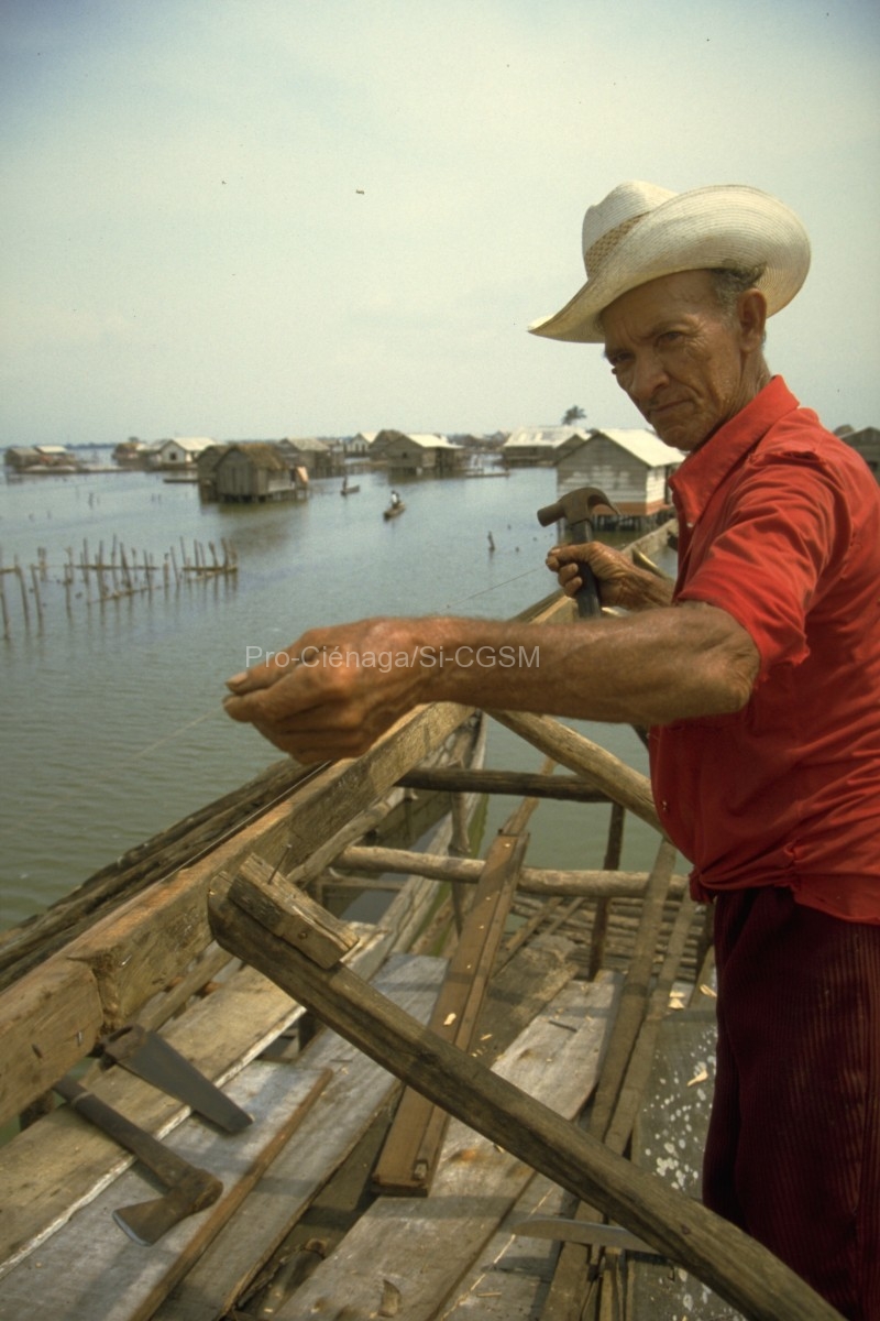
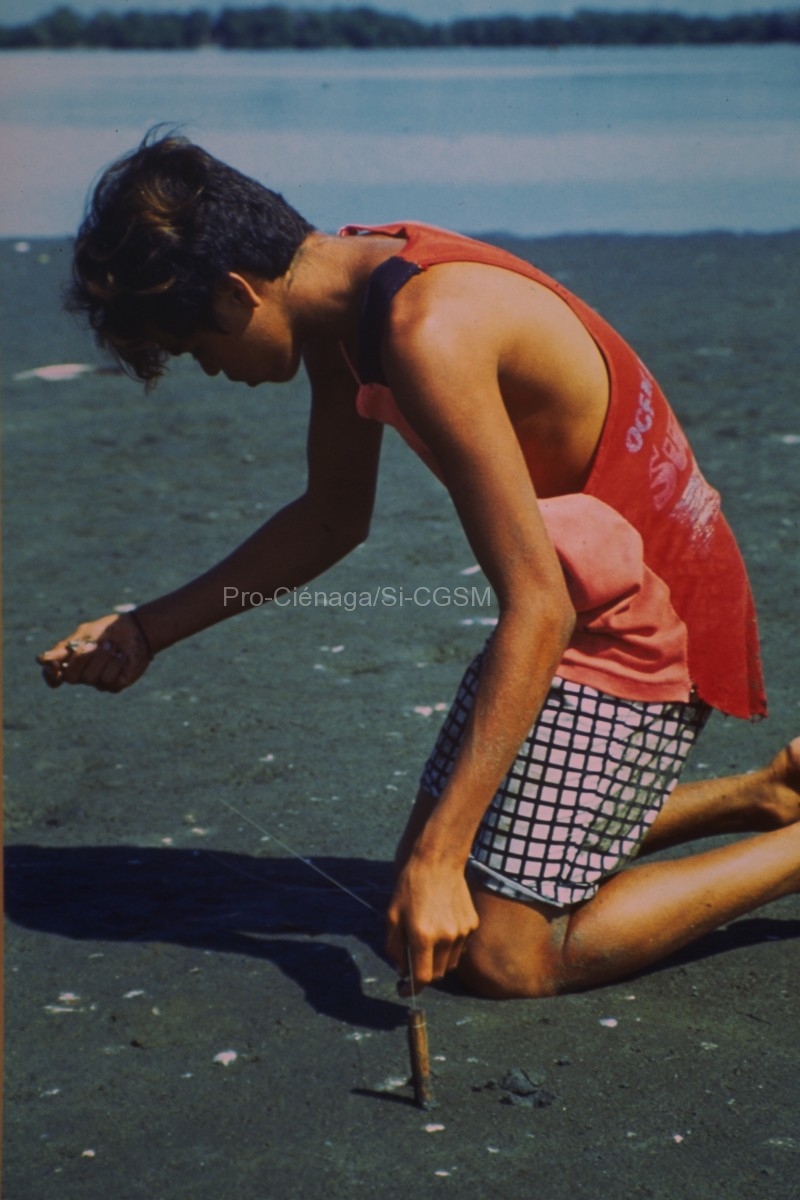
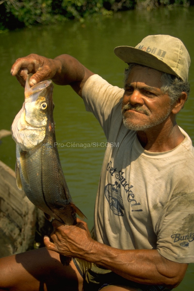
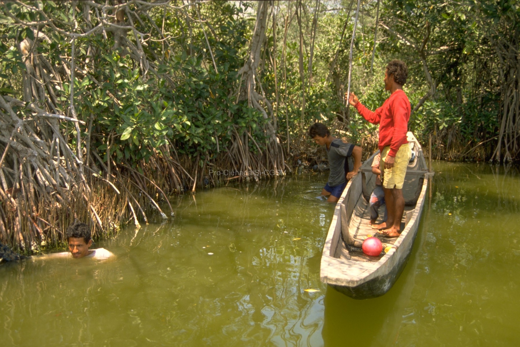
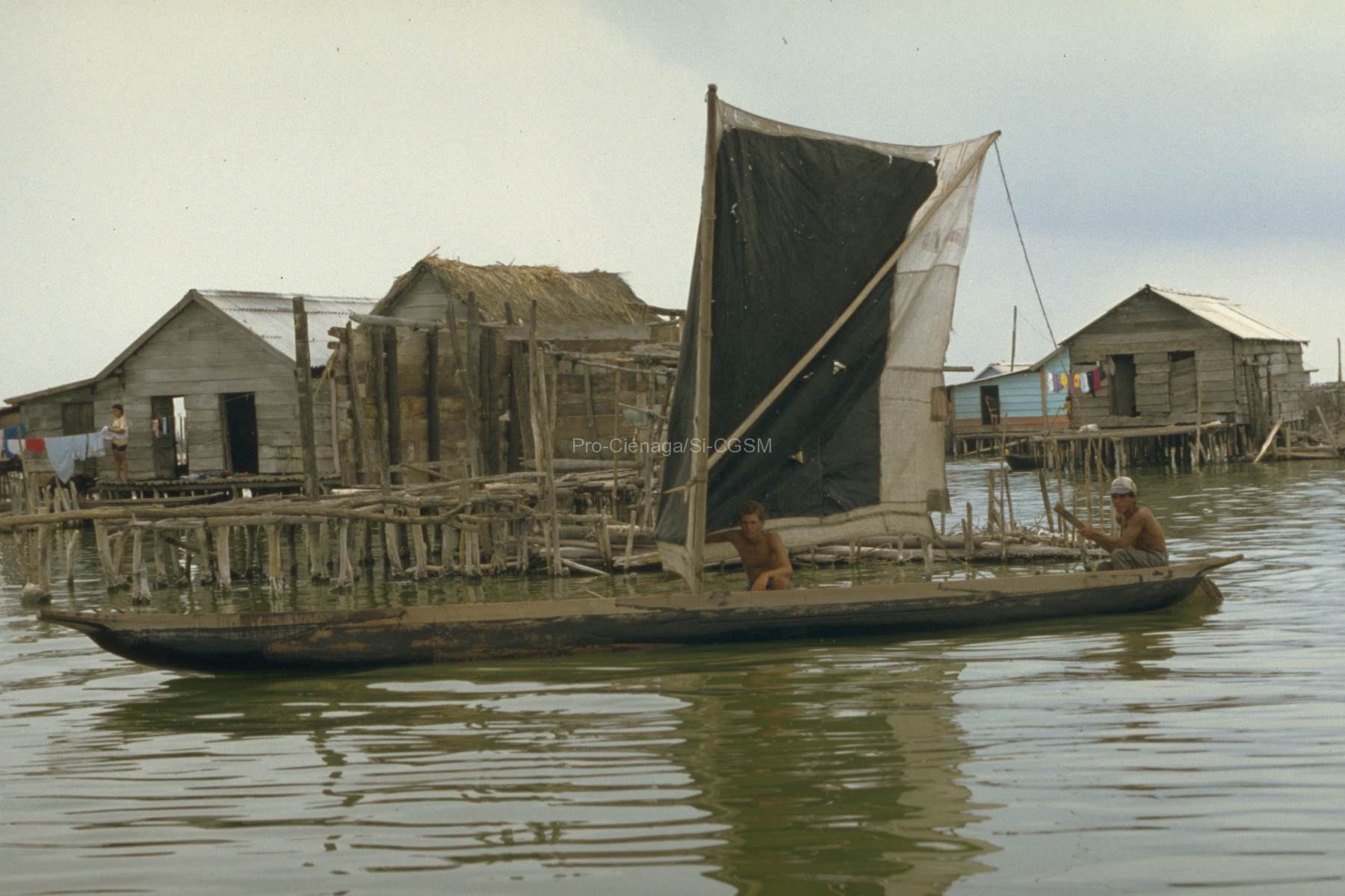
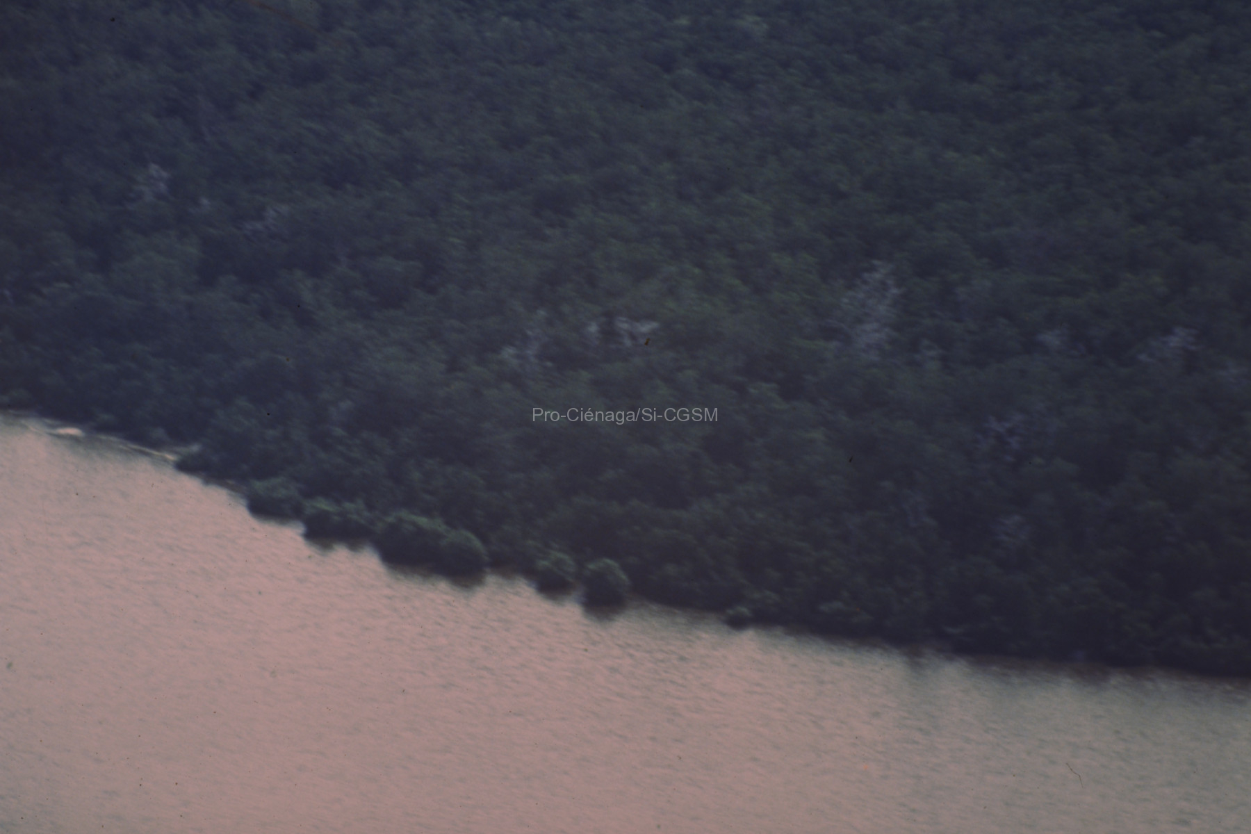
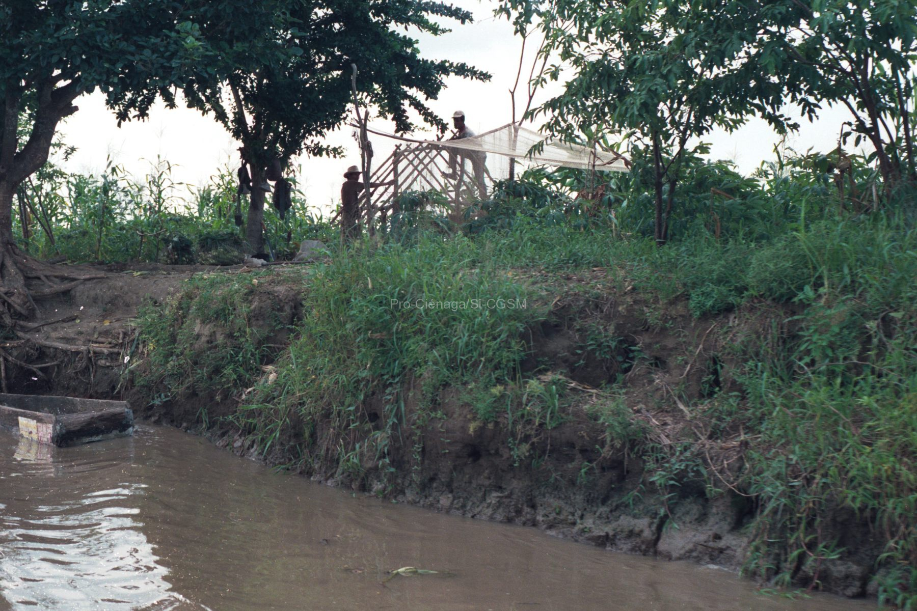
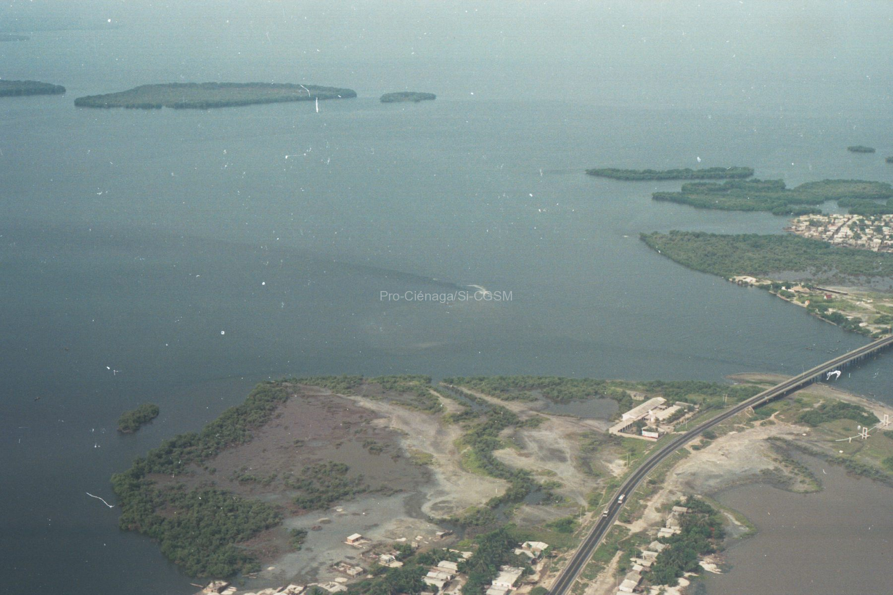
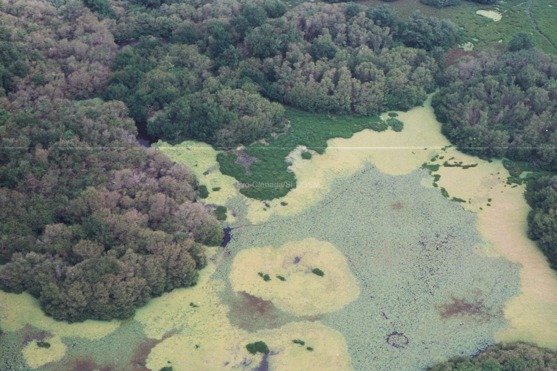
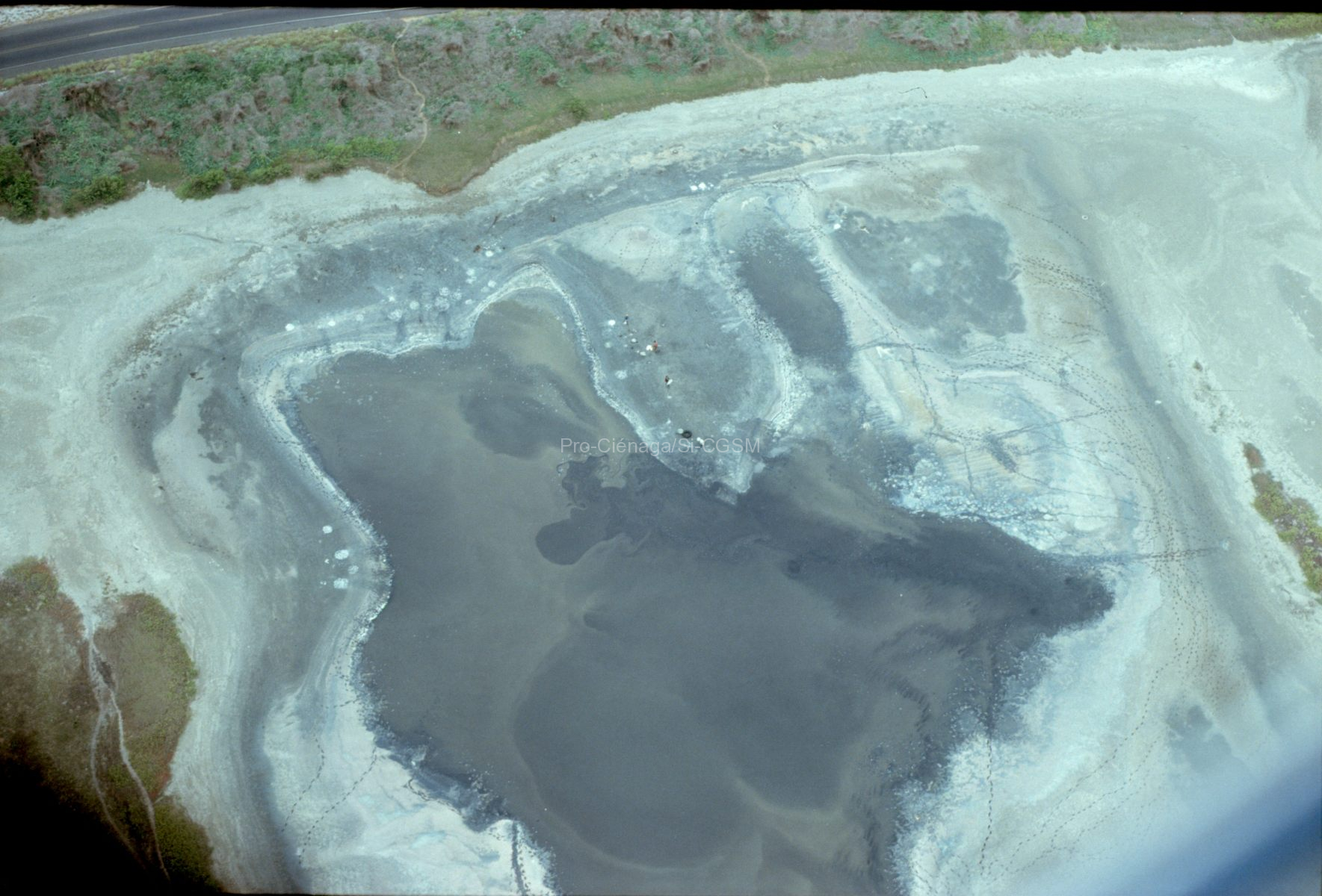
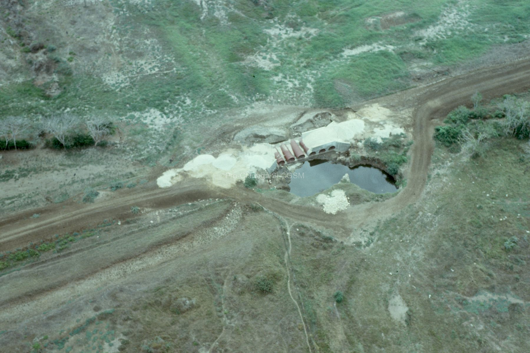
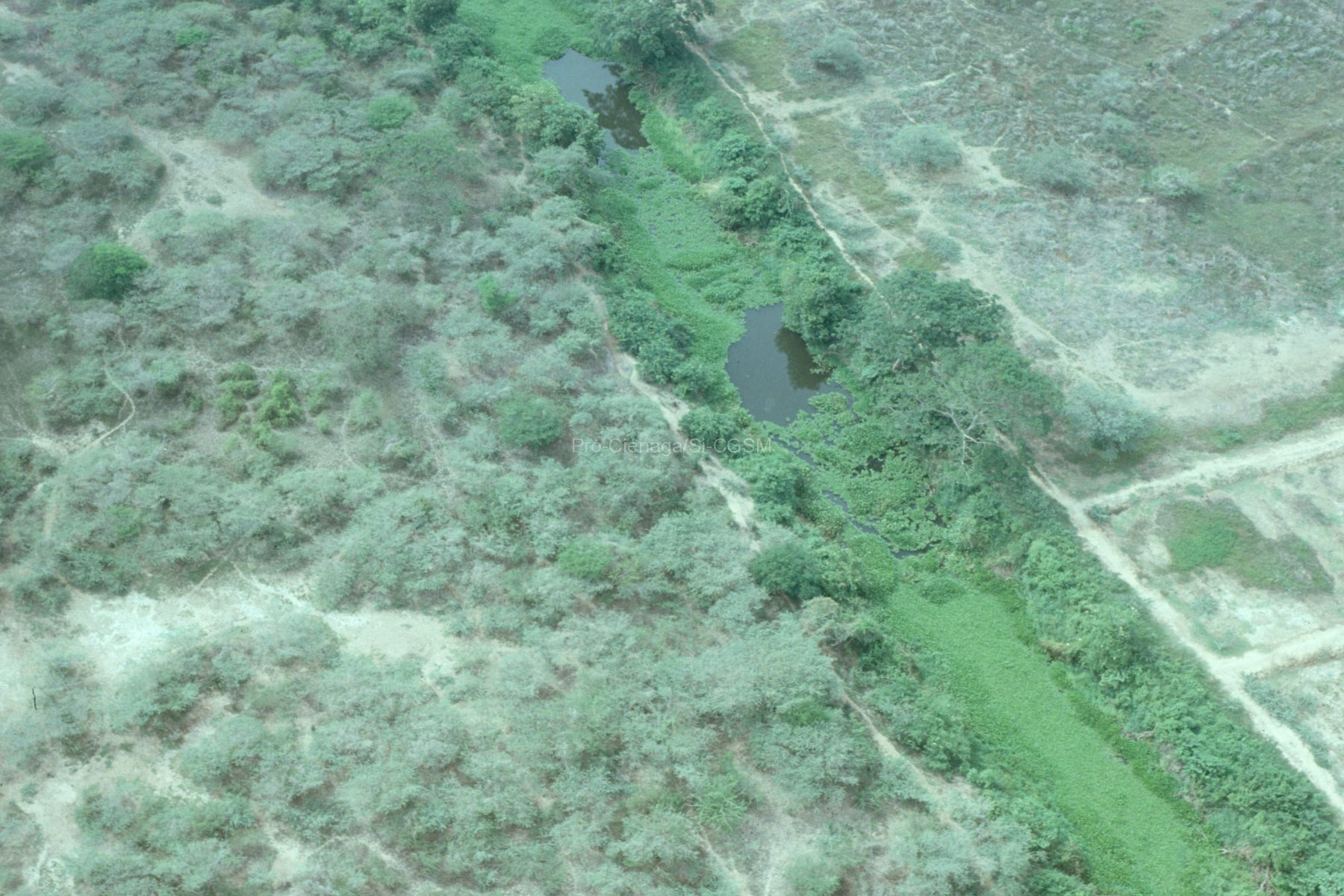
DCA Mangrove forests are found within the intertropical zone and are one of the most biodiverse and productive wetlands on Earth. We focus on the Ciénaga...
Seguir leyendo...Imágenes
Salzwedel, H., Botero, L., & von der Wolf, P. (1995). Ciénaga Grande de Santa Marta: Guía de vida silvestre – Fieldguide – Naturführer. Pro-Ciénaga, 32 p.
DCA Carpeta con textos e imágenes originales por ser ordenadas para crear un documento
Seguir leyendo...Salzwedel, H. (2023d). Visita a la bodega de Corpamag con los documentos del antiguo Centro de Documentación de Pro-Ciénaga.
DCA Se tomaron algunas fotos del depósito de documentos y de las carátulas de unos pocos documentos.Primera visita a una bodega en La Lucha el 11...
Seguir leyendo...invemarbi. (1998-2015). Flickr Colección Ciénaga Grande de Santa Marta.
https://www.flickr.com/photos/118065106@N08/collections/72157681712793055 Monitoreos Ciénaga Grande de Santa Marta
Seguir leyendo...
