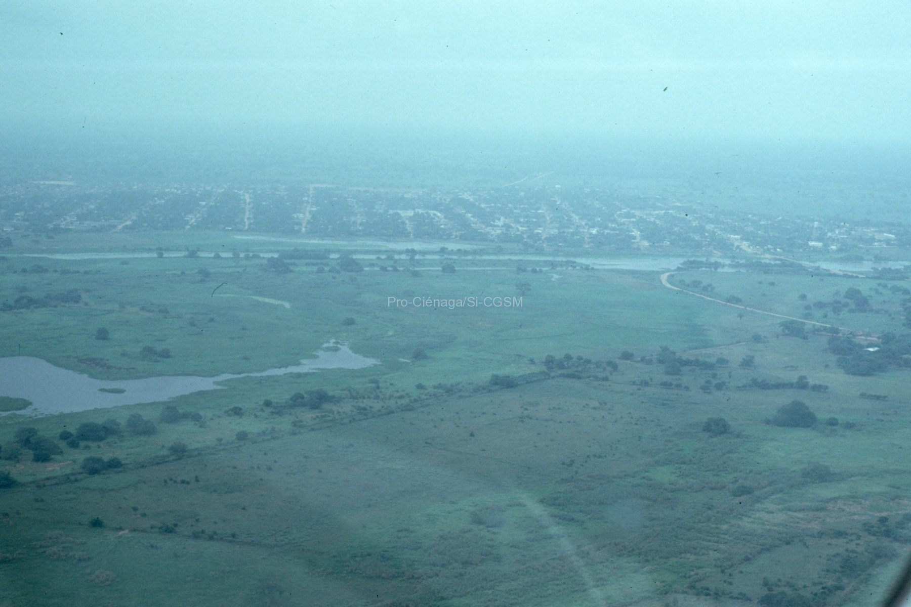
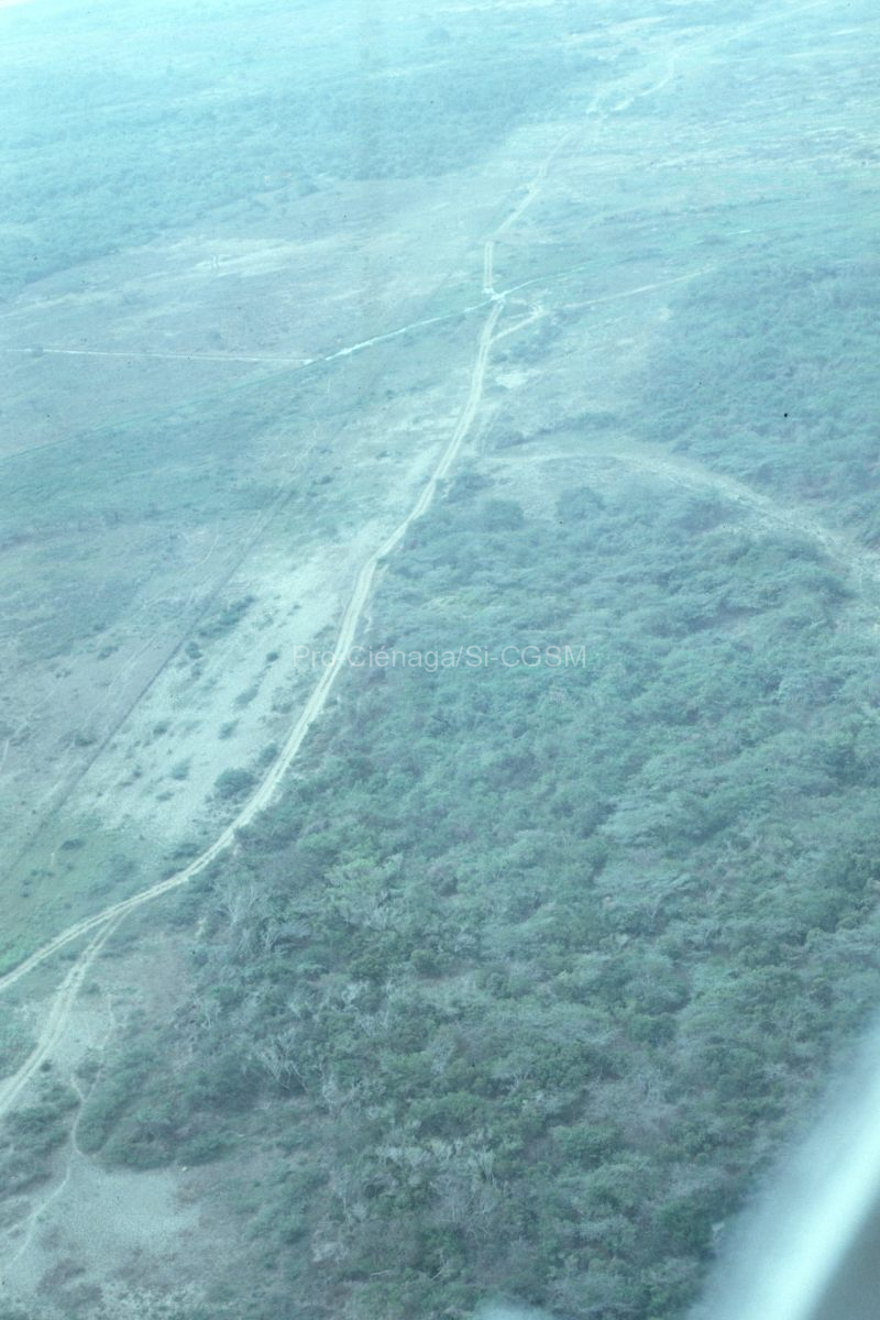
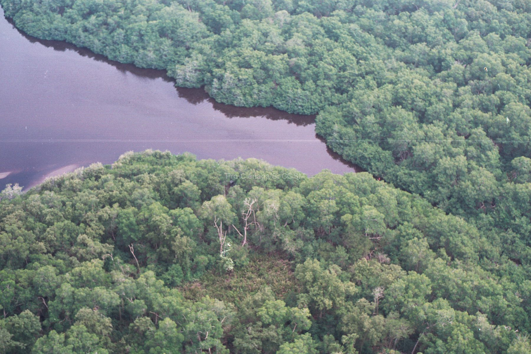
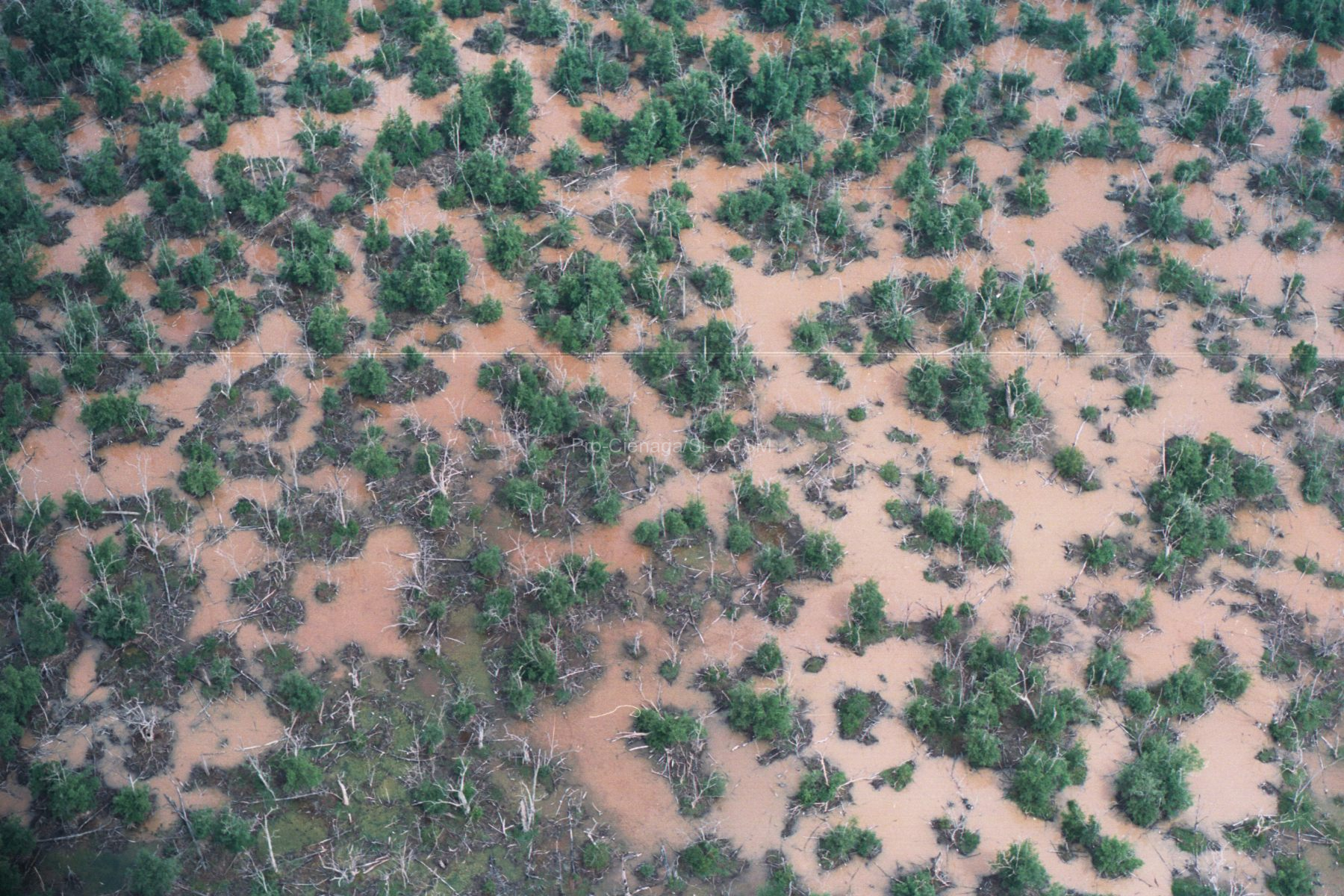
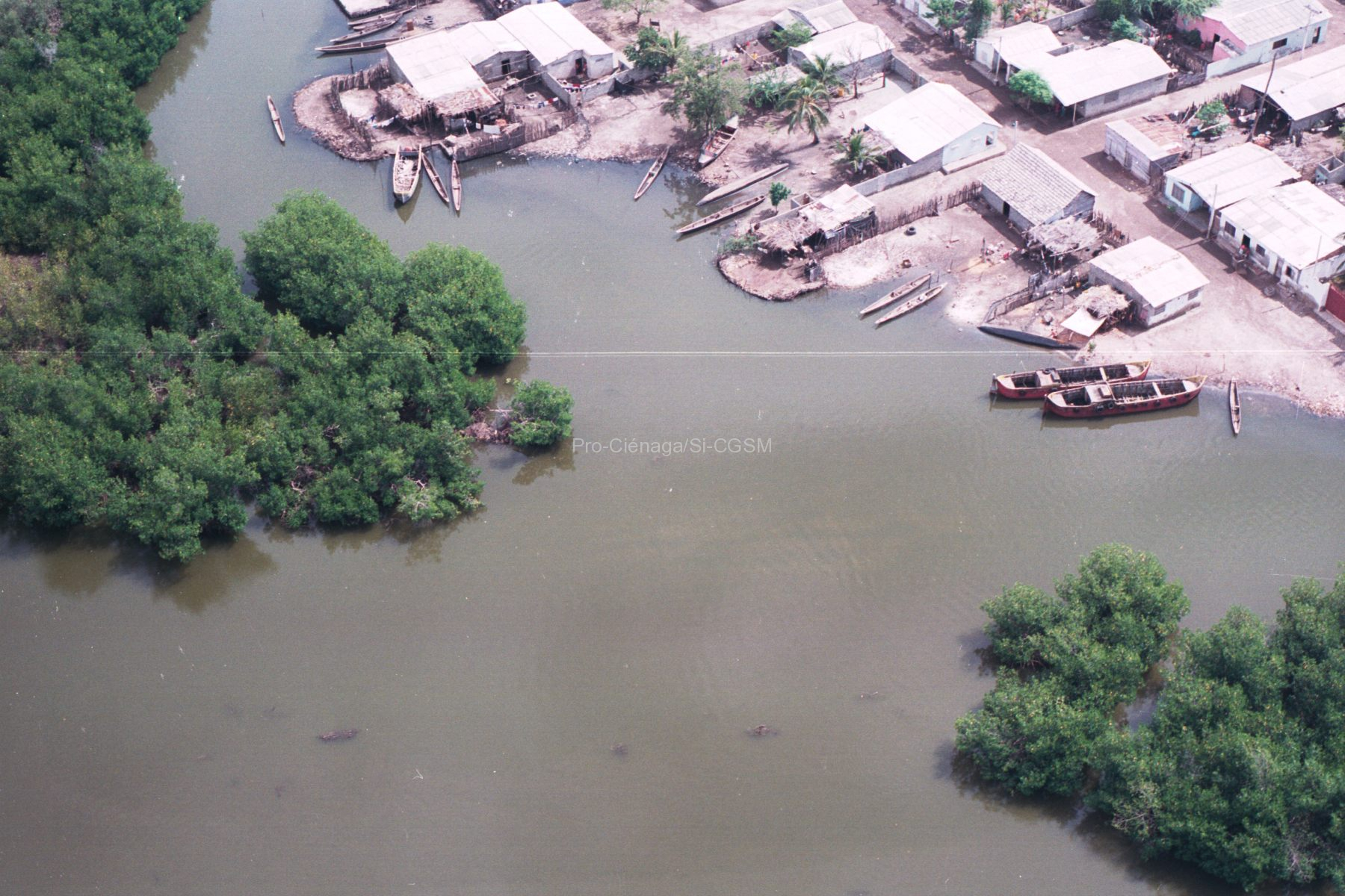
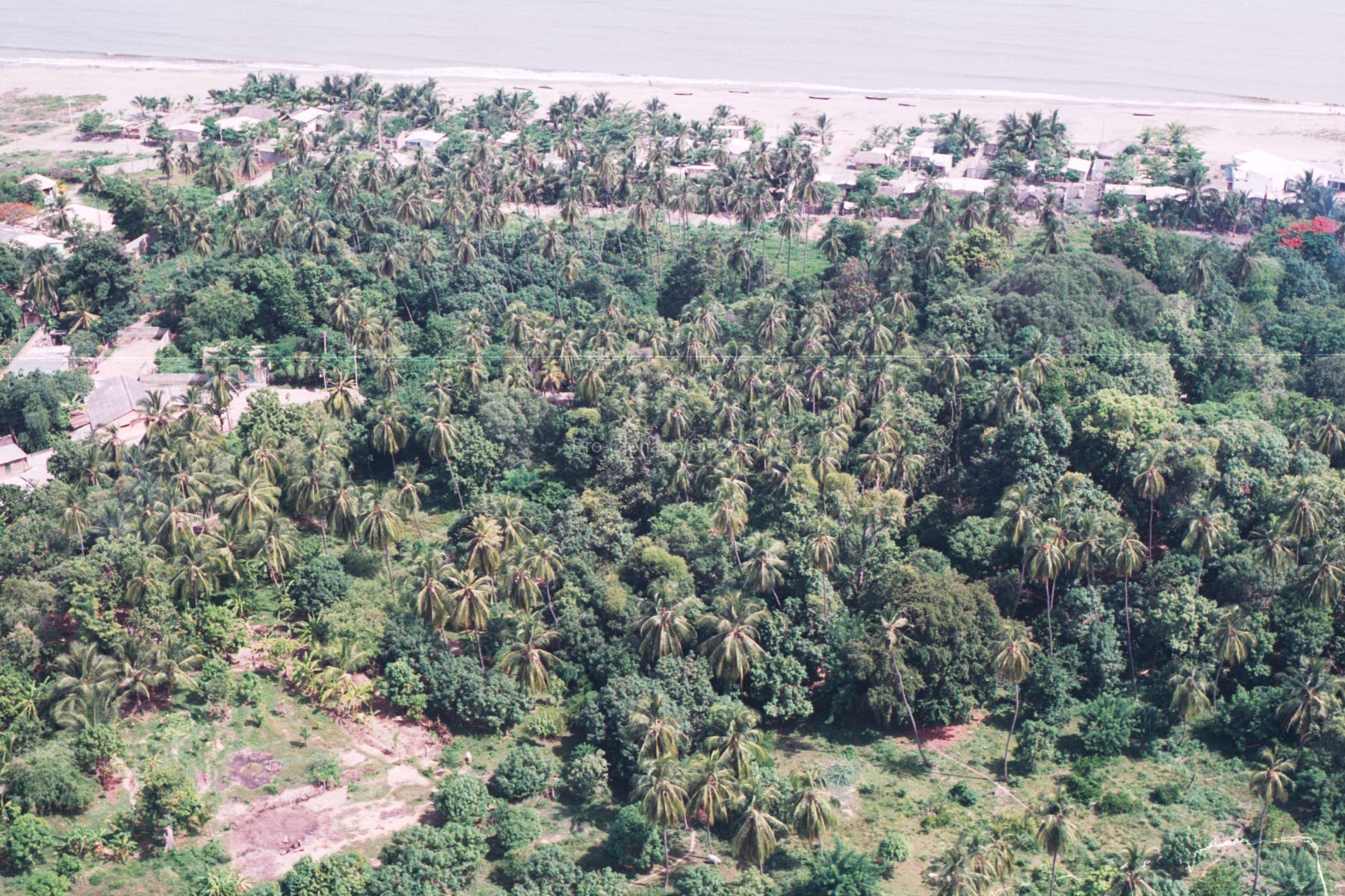
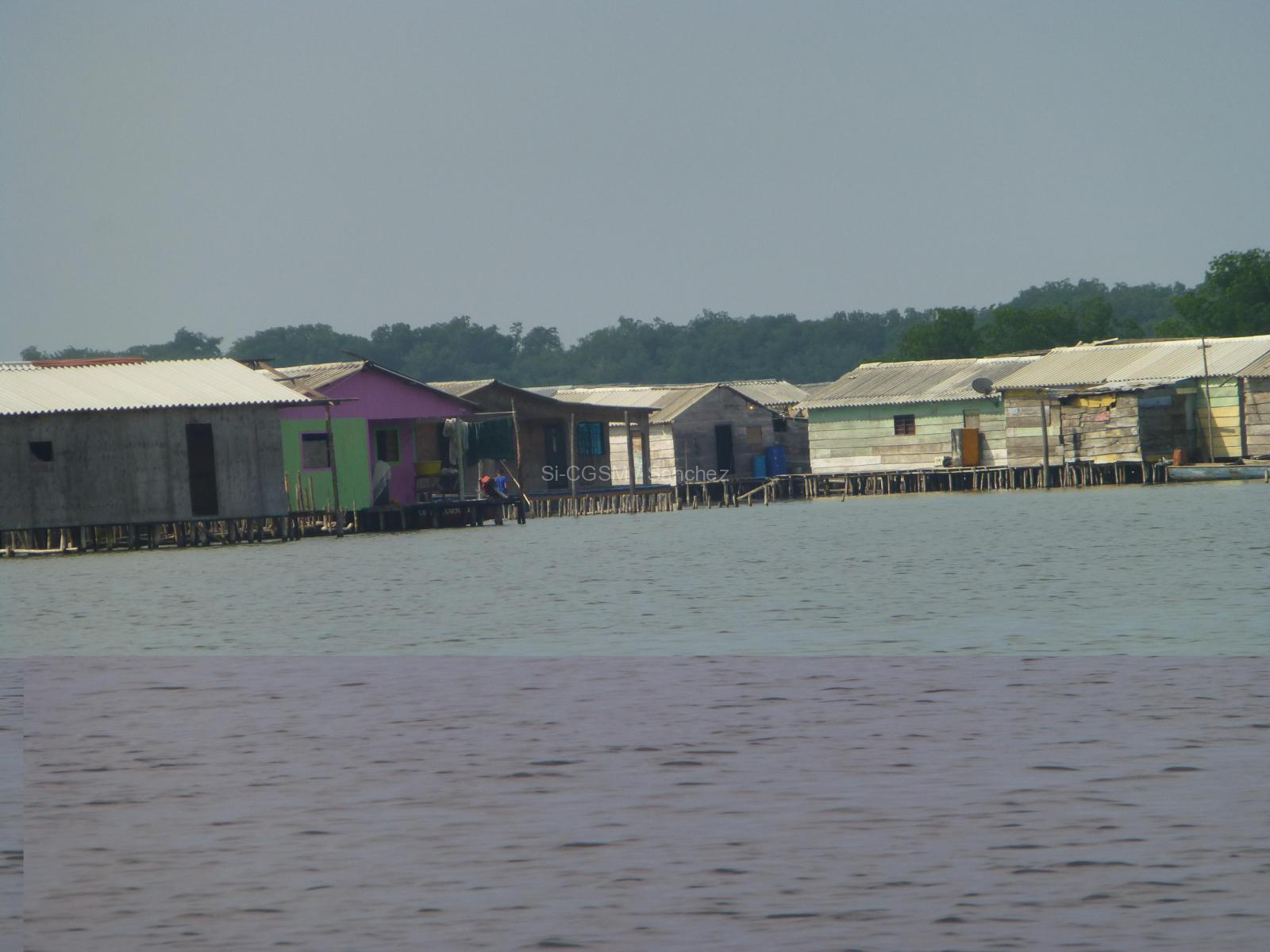
Mangrove forests are found within the intertropical zone and are one of the most biodiverse and productive wetlands on Earth. We focus on the Ciénaga Grande de Santa Marta (CGSM) in Colombia, the largest coastal lagoon–delta ecosystem in the Caribbean area with an extension of 1280 km 2 , where one of the largest mangrove rehabilitation projects in Latin America is currently underway. Extensive man-made hydrological modifications in the region caused hypersaline soil (N 90 g kg − 1) conditions since the 1960s triggering a large dieback of mangrove wetlands (~ 247 km 2). In this paper, we describe a new systematic methodology to measure mangrove height and aboveground biomass by remote sensing. The method is based on SRTM (Shuttle Radar Topography Mission) elevation data, ICEsat/GLAS waveforms (Ice, Cloud, and Land Elevation Satellite/Geoscience Laser Altimeter System) and field data. Since the locations of the ICEsat and field datasets do not coincide, they are used independently to calibrate SRTM elevation and produce a map of mangrove canopy height. We compared height estimation methods based on waveform centroids and the canopy height profile (CHP). Linear relationships between ICEsat height estimates and SRTM elevation were derived. We found the centroid of the canopy waveform contribution (CWC) to be the best height estimator. The field data was used to estimate a SRTM canopy height bias (−1.3 m) and estimation error (rms = 1.9 m). The relationship was applied to the SRTM elevation data to produce a mangrove canopy height map. Finally, we used field data and published allometric equations to derive an empirical relationship between canopy height and biomass. This relationship was used to scale the mangrove height map and estimate aboveground biomass distribution for the entire CGSM. The mean mangrove canopy height in CGSM is 7.7 m and most of the biomass is concentrated in forests around 9 m in height. Our biomass maps will enable estimation of regeneration rates of mangrove forests under hydrological rehabilitation at large spatial scales over the next decades. They will also be used to assess how highly disturbed mangrove forests respond to increasing sea level rise under current global climate change scenarios.