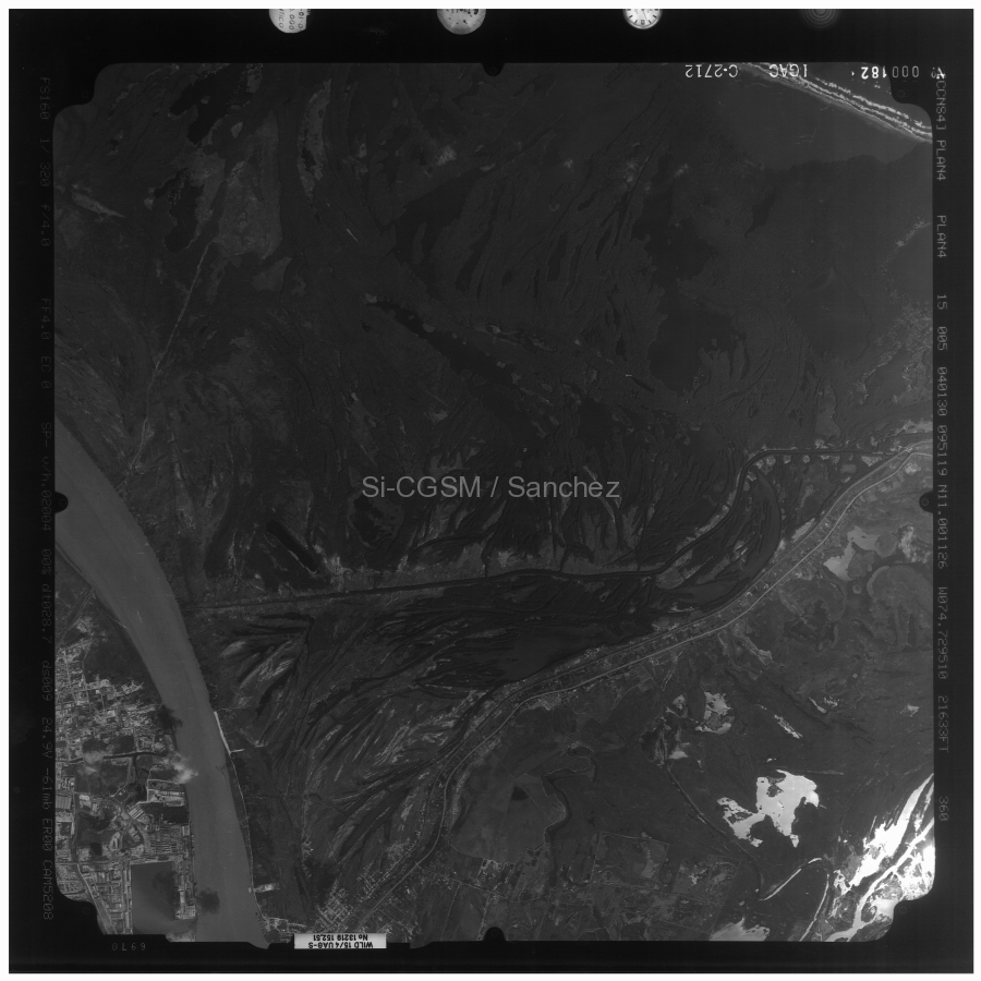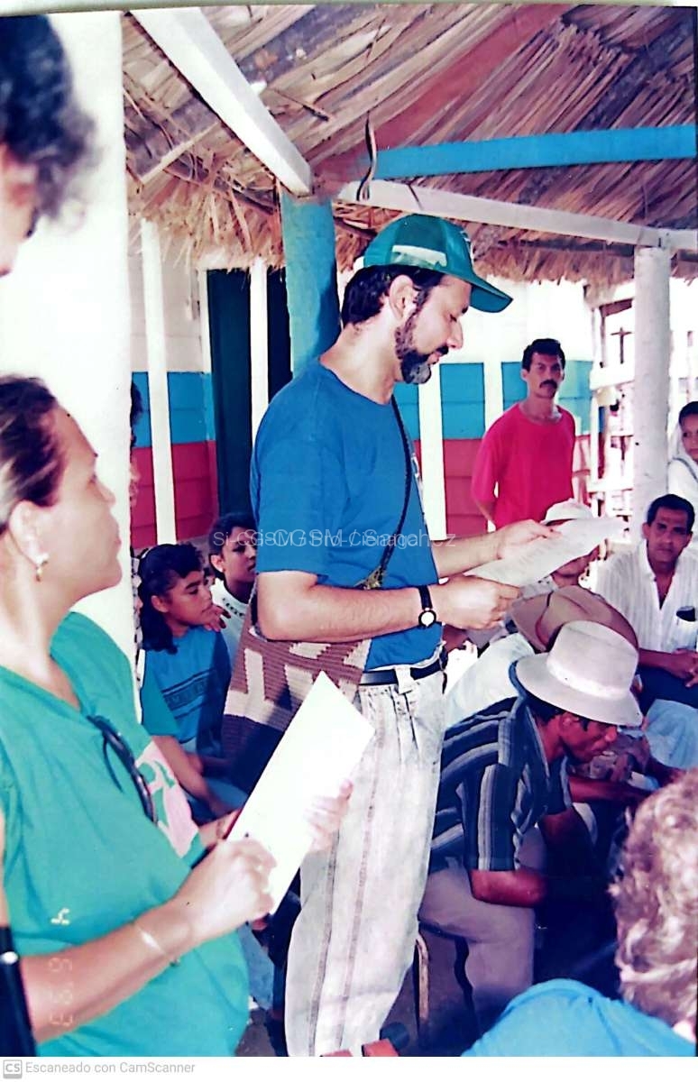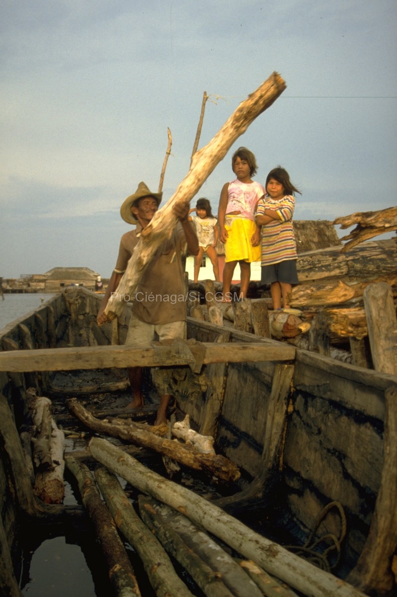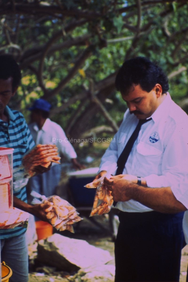
Este informe faunal esta parcialmente basado en material colectado por dos cruceros de la Universidad de Miami´s R/V John Elliot Pillsbury en 1966 y 1968 a...
Seguir leyendo...Río Magdalena
Sociedad de mapas geográficas Kümmerly & Frey. (1920). Mapa del Río Magdalena.
http://babel.banrepcultural.org/digital/iiif/p17054coll13/576/full/full/0/default.jpg
Seguir leyendo...Shepard, F. P., Dill, R. F., & Heezen, B. C. (1968). Diapiric Intrusions in Foreset Slope Sediments Off Magdalena Delta, Colombia1. AAPG Bulletin, 52(11), 2197-2207.
https://doi.org/10.1306/5D25C55F-16C1-11D7-8645000102C1865D The Magdalena River of Colombia is prograding its delta rapidly onto the slope that leads north into Colombian basin of the Caribbean. Results of this...
Seguir leyendo...Shepard, F. P. (1967). Delta-Front Diapirs Off Magdalena River, Colombia Compared with Hills Off Other Large Deltas. 17 p.
http://archives.datapages.com/data/gcags/data/017/017001/0316.htm Exploration of the slope off the Magdalena River with reflection profiling has shown a series of large diapiric intrusions with hills rising as much as...
Seguir leyendo...Rodriguez Becerra, R. (Ed.). (2015). ¿Para dónde va el río Magdalena? Riesgos sociales, ambientales y económicos del proyecto de navegabilidad – Foro Nacional Ambiental. Bogotá, FESCOL, 315 p.
http://hdl.handle.net/1992/46626 A fines de 2014, Cormagdalena firmó con el Consorcio Navelena, el Contrato de asociación público-privada para la recuperación de la navegación en el río Magdalena,...
Seguir leyendo...Restrepo, J. D., & Kjerfve, B. (2000). Magdalena river: Interannual variability (1975–1995) and revised water discharge and sediment load estimates. Journal of Hydrology, 235(1), 137-149.
https://doi.org/10.1016/S0022-1694(00)00269-9 Magdalena river discharges 228 km3 of water annually, or on the average 7200m3s−1, into the western Caribbean based on 21 years of daily data, 1975–1995....
Seguir leyendo...Laboratorio de Ensayos Hidráulicos Las Flores. (1993). Caño Clarín Nuevo (K0 a K13): Simulación matemática. Corpamag 10 p. & anexos.
Este documento presenta la simulación matemática del Río Magdalena entre Pimsa y Bocas de Ceniza, incluyendo el tramo considerado del Caño Nuevo Clarín, utilizando el modelo...
Seguir leyendo...Kaufmann, R., & Reichelt, W. (1967). Langjährige Pegelaufzeichnungen im Río Magdalena (Kolumbien). Bulletin of Marine and Coastal Research, 1.
https://doi.org/10.25268/bimc.invemar.1967.1.0.604 Se informa sobre mediciones fluviométricas realizadas durante veinte años en el curso inferior del Rio Magdalena. El nivel inferior anual se presenta en marzo, el...
Seguir leyendo...