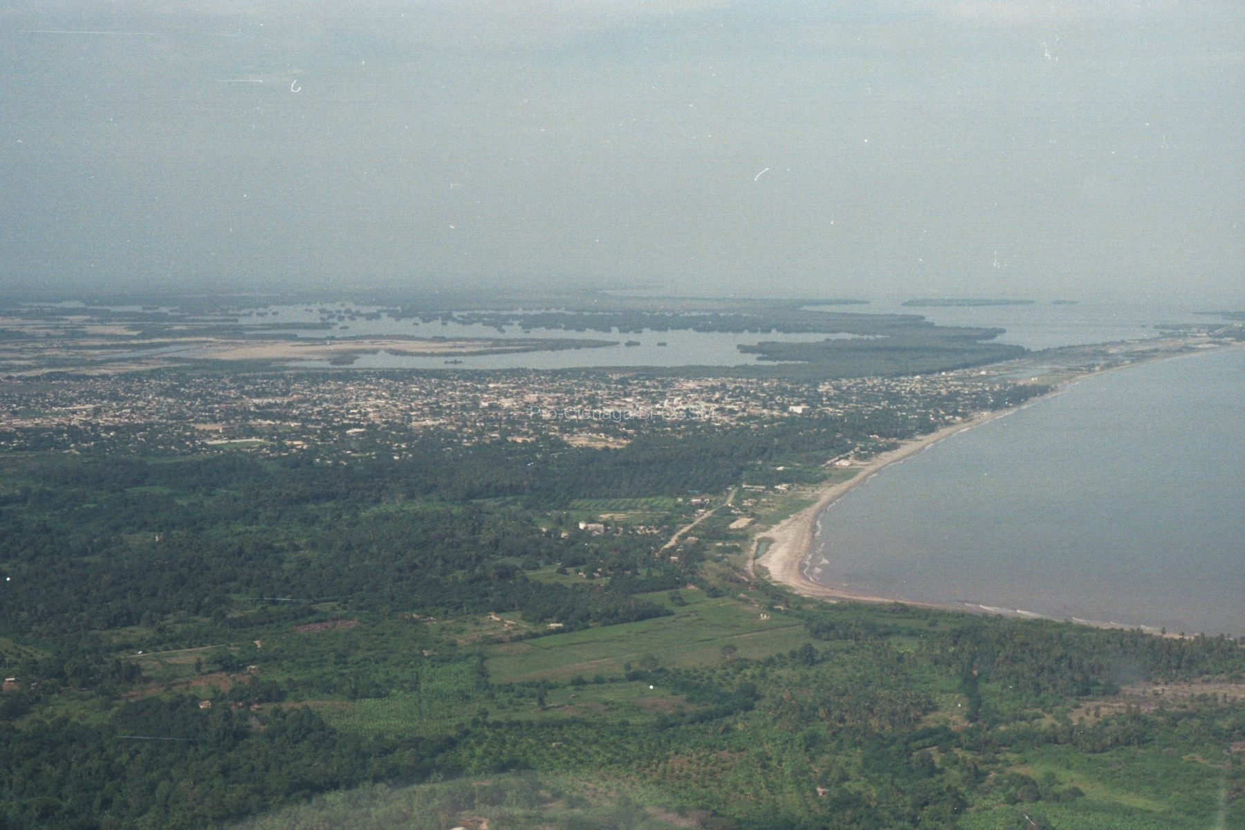
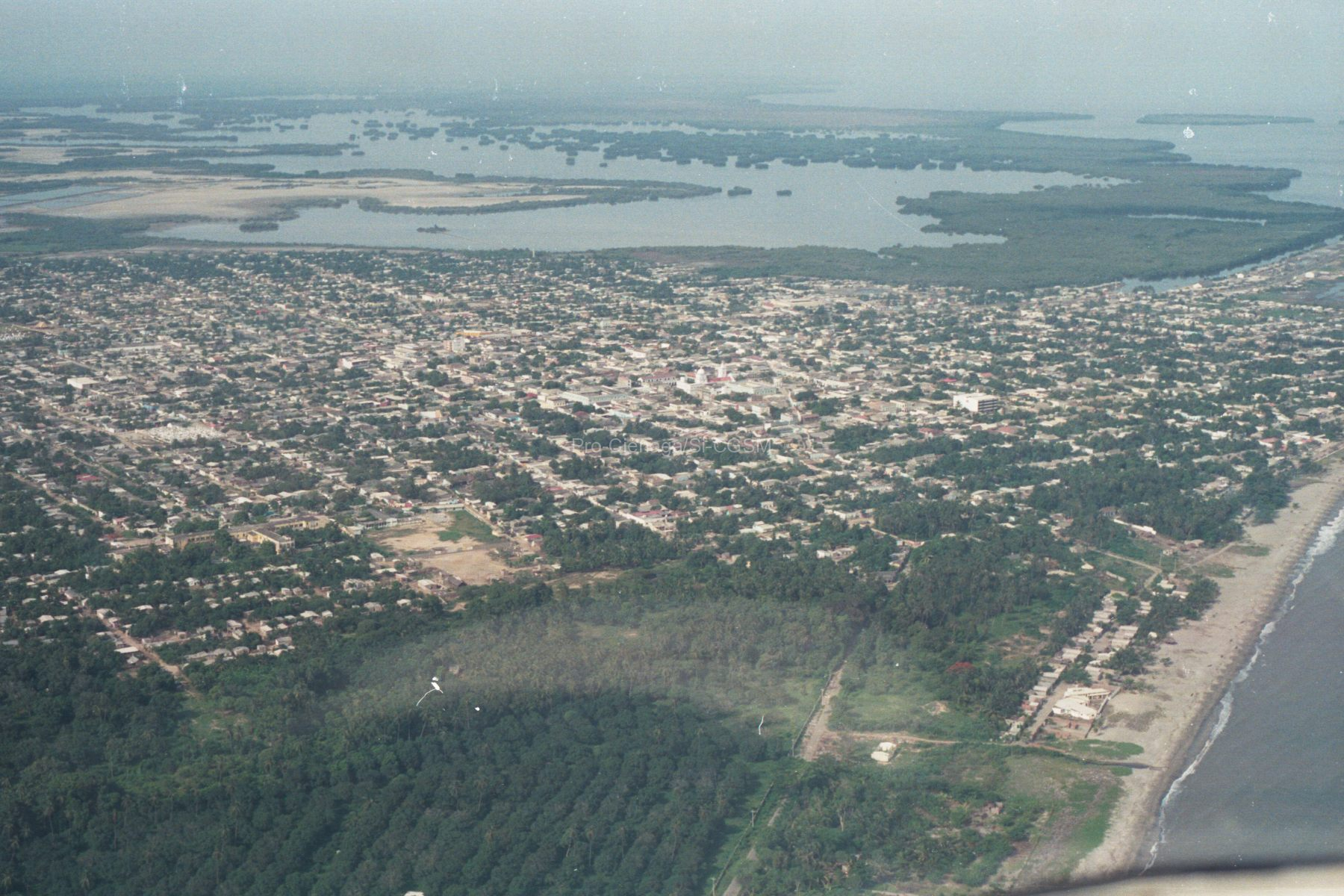
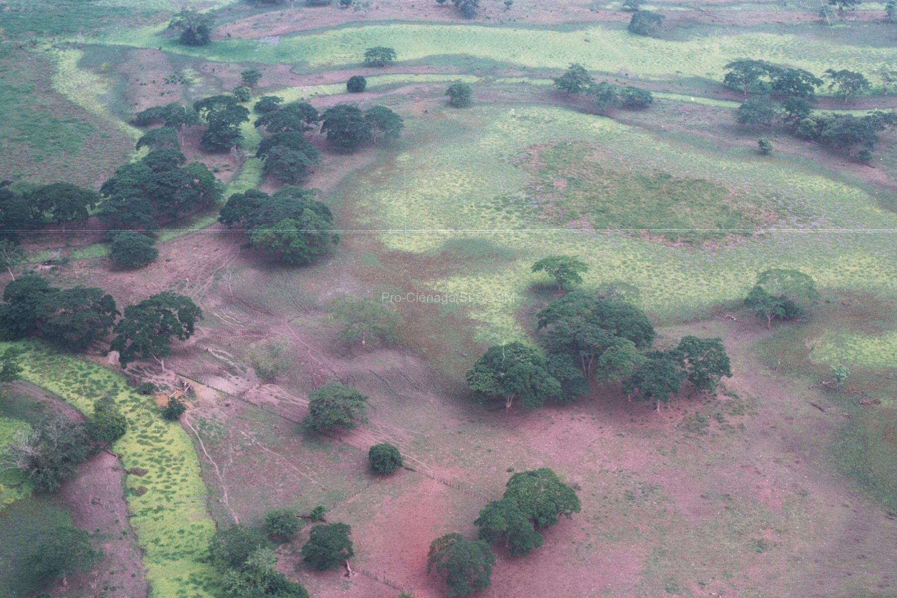
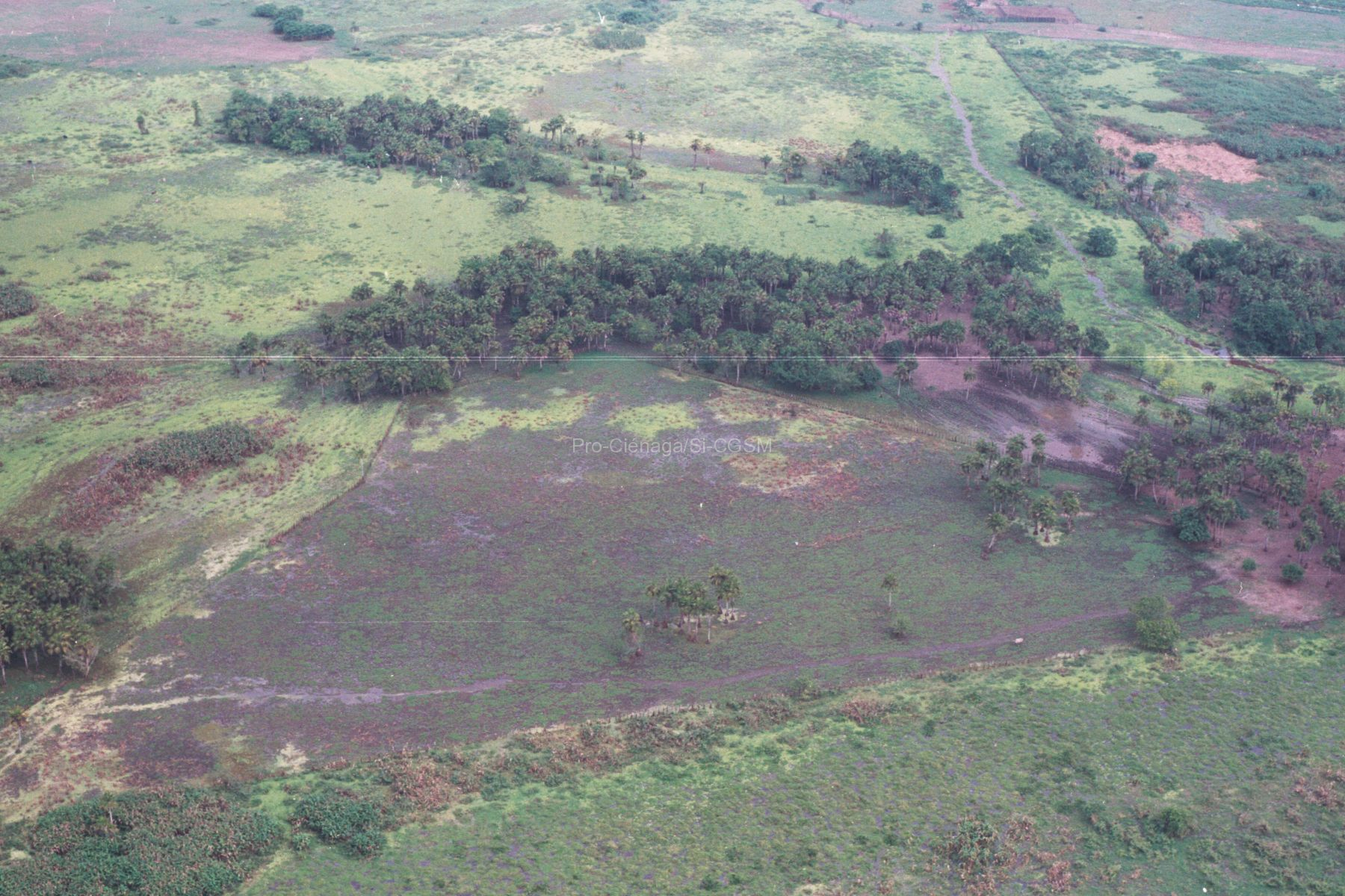
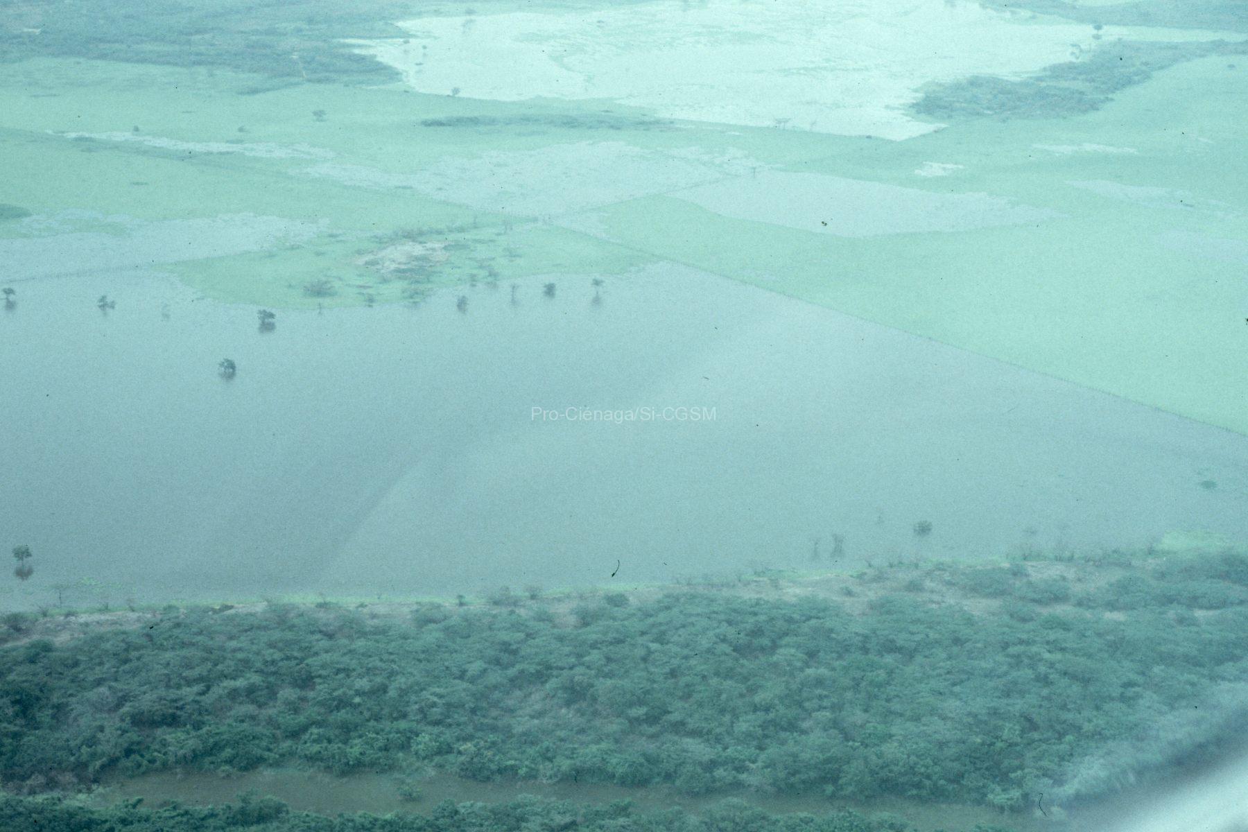
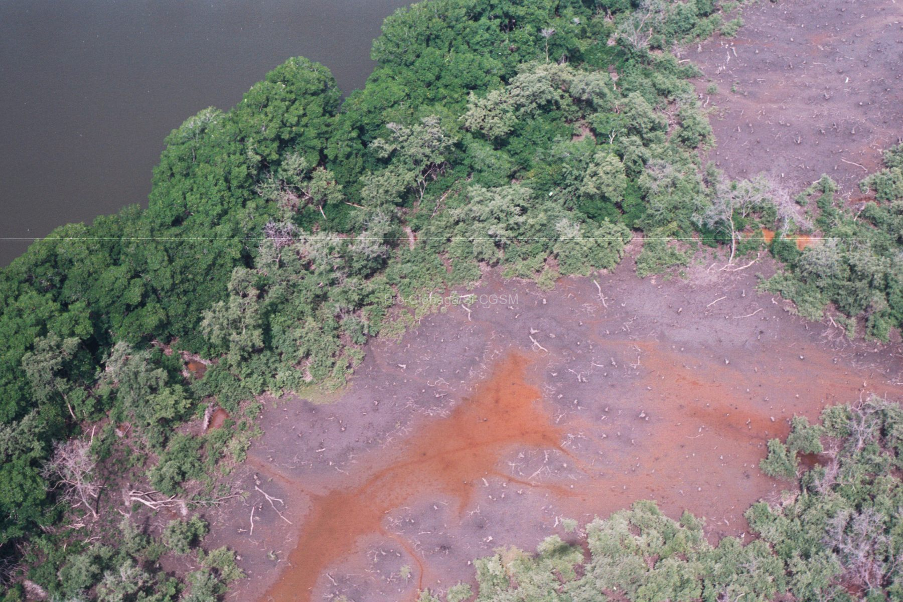
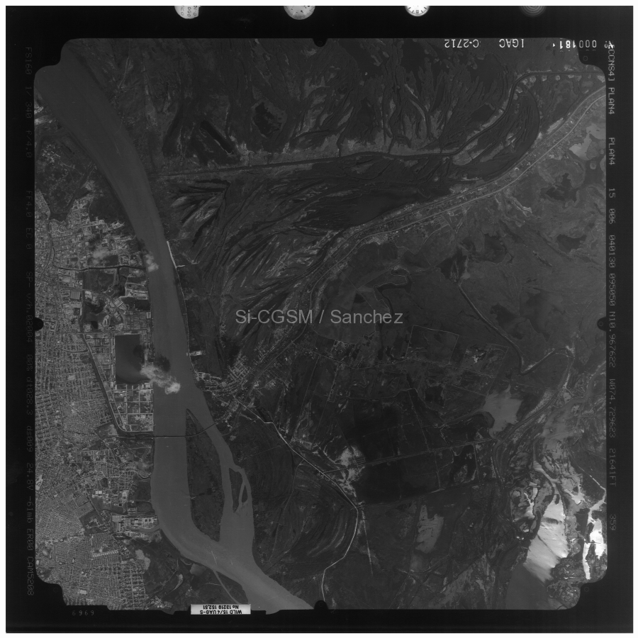
DCA Mangrove forests are found within the intertropical zone and are one of the most biodiverse and productive wetlands on Earth. We focus on the Ciénaga...
Seguir leyendo...Imágenes de satélite
Collazos, Z. (1999). Procesamiento e interpretación de la imagen Spotxs97, 11 p.
DCA Objetivo: El objetivo de este trabajo es el procesamiento de dos imágenes Spot XS de 1997 de la zona de la Ciénaga Grande de Santa...
Seguir leyendo...Villamil Alonso, M. B. (2000). Evaluación de los cambios espacio temporales (1990-1999) de los bosques de manglar en la Ciénaga Grande de Santa Marta utilizando imágenes de satélite. Tesis, Universidad Jorge Tadeo Lozano, Bogotá, 120 p.
Se presentan resultados del análisis de cuatro imágenes de satélite SPOT (1990, 1993, 1995, 1997) y una LANDSAT (1999) para evaluar el cambio en la extensión...
Seguir leyendo...SPOT3. (1993). Ciénaga Grande de Santa Marta, imágen de satélite SPOT3 en color falso mostrando las áreas de manglar muerte. Pro-Ciénaga.
Imágen en color falso desde 830 km de altura
Seguir leyendo...Gónima, L., Mancera Pineda, J. E., & Botero Arboleda, L. (1998). Aplicación de imágenes de satélite al diagnóstico ambiental de un complejo lagunar estuarino tropical: Ciénaga Grande de Santa Marta, Caribe colombiano. Serie Publicaciones Especiales No. 4, INVEMAR, 56 p.
https://repository.agrosavia.co/bitstream/handle/20.500.12324/29847/59323_25902.pdf?sequence=1&isAllowed=y Este trabajo presenta un estudio de caso en el cual se utilizan imágenes de satélite procesadas aplicando algoritmos físico-matemáticos, para obtener imágenes-resultado estrechamente relacionadas, conceptualmente,...
Seguir leyendo...Gónima, L., Mancera, J. E., & Botero, L. (1996). Análisis e interpretación de imágenes de satélite para estudios de vegetación, suelos y aguas en la Ciénaga Grande de Santa Marta. Informe final. Universidad Nacional de Colombia e INVEMAR.
Se recomienda considerar por obsoleto el presente informe y usar a a Gónima et al. (1998).
Seguir leyendo...Villamil Alonso, M. B. (2000). Evaluación de los cambios espacio temporales (1990-1999) de los bosques de manglar en la Ciénaga Grande de Santa Marta utilizando imágenes de satélite. Tesis Universidad Jorge Tadeo Lozano, 120 p.
Se presentan resultados del análisis de cuatro imágenes de satélite SPOT (1990, 1993, 1995, 1997) y una LANDSAT (1999) para evaluar el cambio en la extensión...
Seguir leyendo...
